
Land Surveying
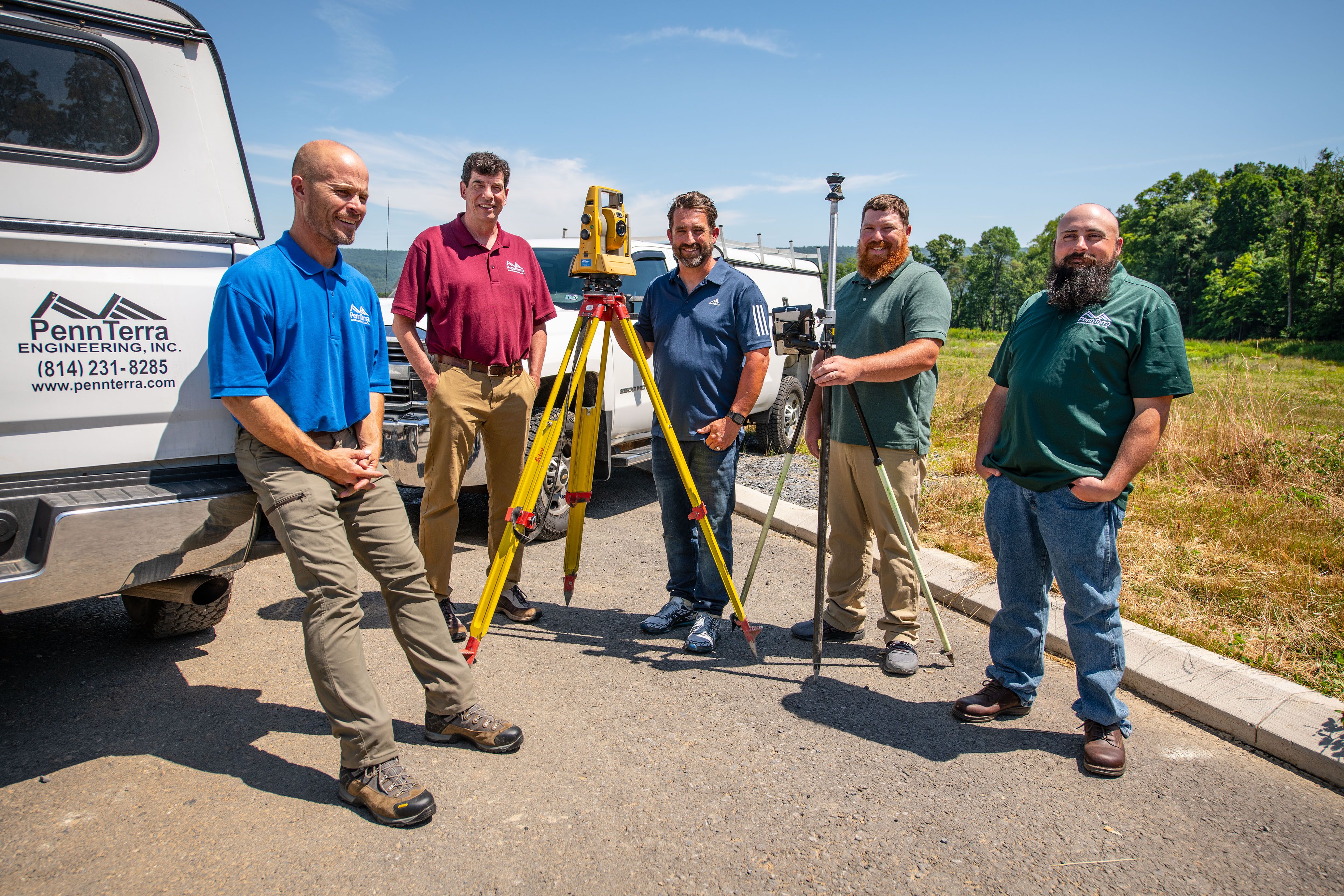
Accurate survey data is the foundation of every successful land development project. PennTerra Engineering’s Survey Department combines experienced field personnel with the latest surveying technology and software to deliver precise location information quickly and efficiently. That accurate, complete data gives our design teams the dependable base they need to create constructable plans, giving contractors the information required to build with confidence.
From commercial developments and residential subdivisions to agricultural tracts and wooded parcels, PennTerra has the equipment, expertise, and manpower to meet a wide range of surveying needs with efficiency and accuracy.
Frequently Asked Questions (FAQs)
1. Can PennTerra provide construction stakeout for contractors and builders?
Yes. PennTerra Engineering regularly provides construction stakeout services to transfer approved design information accurately from the plans to the field. Our survey team stakes building corners, roads, utilities, stormwater facilities, grading features, and other critical improvements so contractors can build with confidence and reduce costly layout errors.
2. I am a homeowner and need property corners marked for a fence or boundary concern. Can PennTerra help?
Absolutely. PennTerra assists private property owners with boundary surveys, corner location and monumentation, fence line verification, lot line questions, and documentation often needed for neighbor disputes, property improvements, or peace of mind before construction. Having a licensed professional survey completed ensures you are working from defensible, accurate property information.
3. Does PennTerra survey agricultural land, farms, and wooded parcels?
Yes. In addition to commercial and residential development, PennTerra has extensive experience surveying agricultural tracts, large rural properties, and wooded land. These sites often present unique challenges such as limited access, variable terrain, old deed descriptions, and long boundary lines. PennTerra has the equipment, field crews, and practical experience to efficiently handle complex rural surveying assignments.
4. Is PennTerra qualified to work on utility and industrial sites?
Yes. PennTerra Engineering is ISNetworld compliant and experienced in supporting utility and industrial clients that require elevated safety, insurance, and contractor compliance standards. Our survey professionals are equipped to work collaboratively with utility providers, industrial operators, contractors, and project teams to safely and efficiently support projects from initial fieldwork through construction.